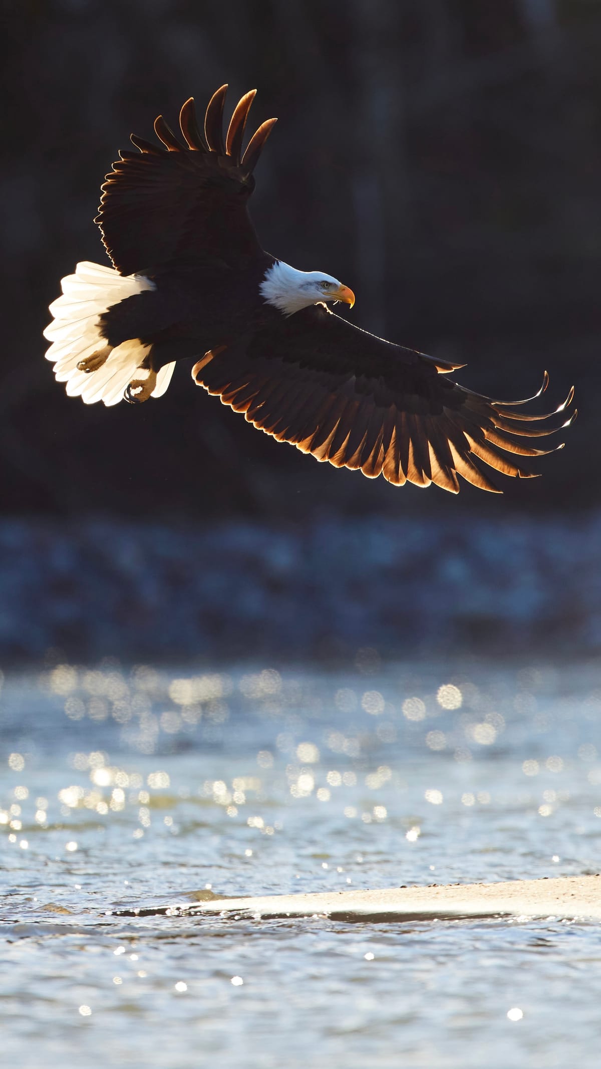
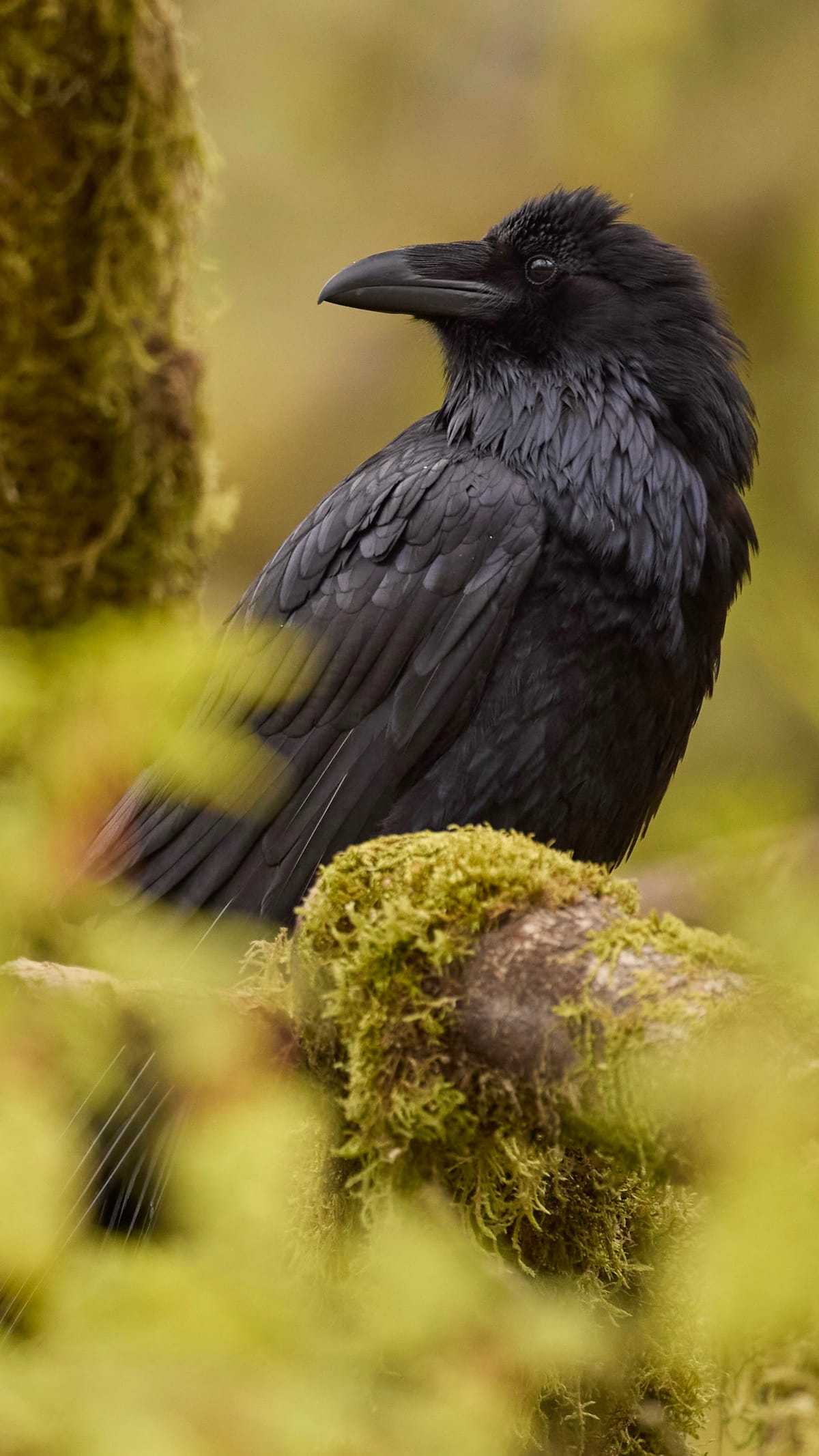
Sea-to-Sky · Squamish, BC
Sp'akw'us Feather Park
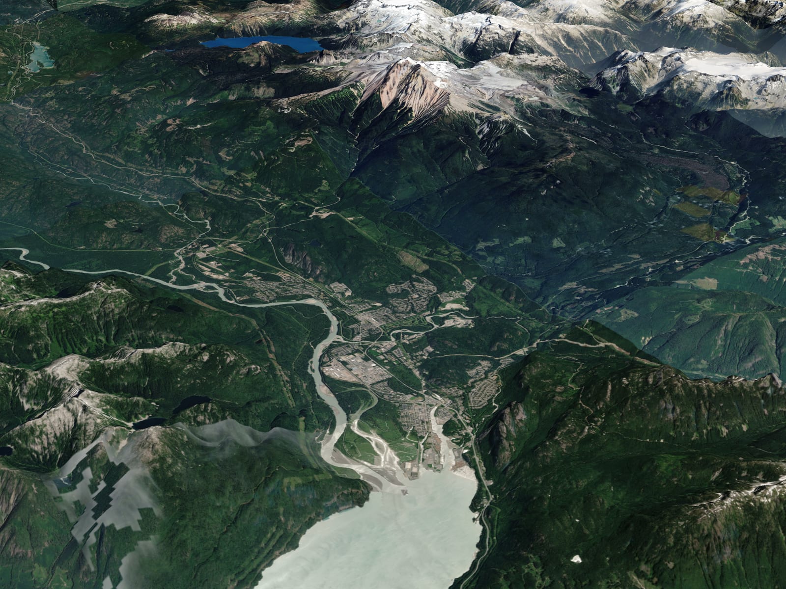
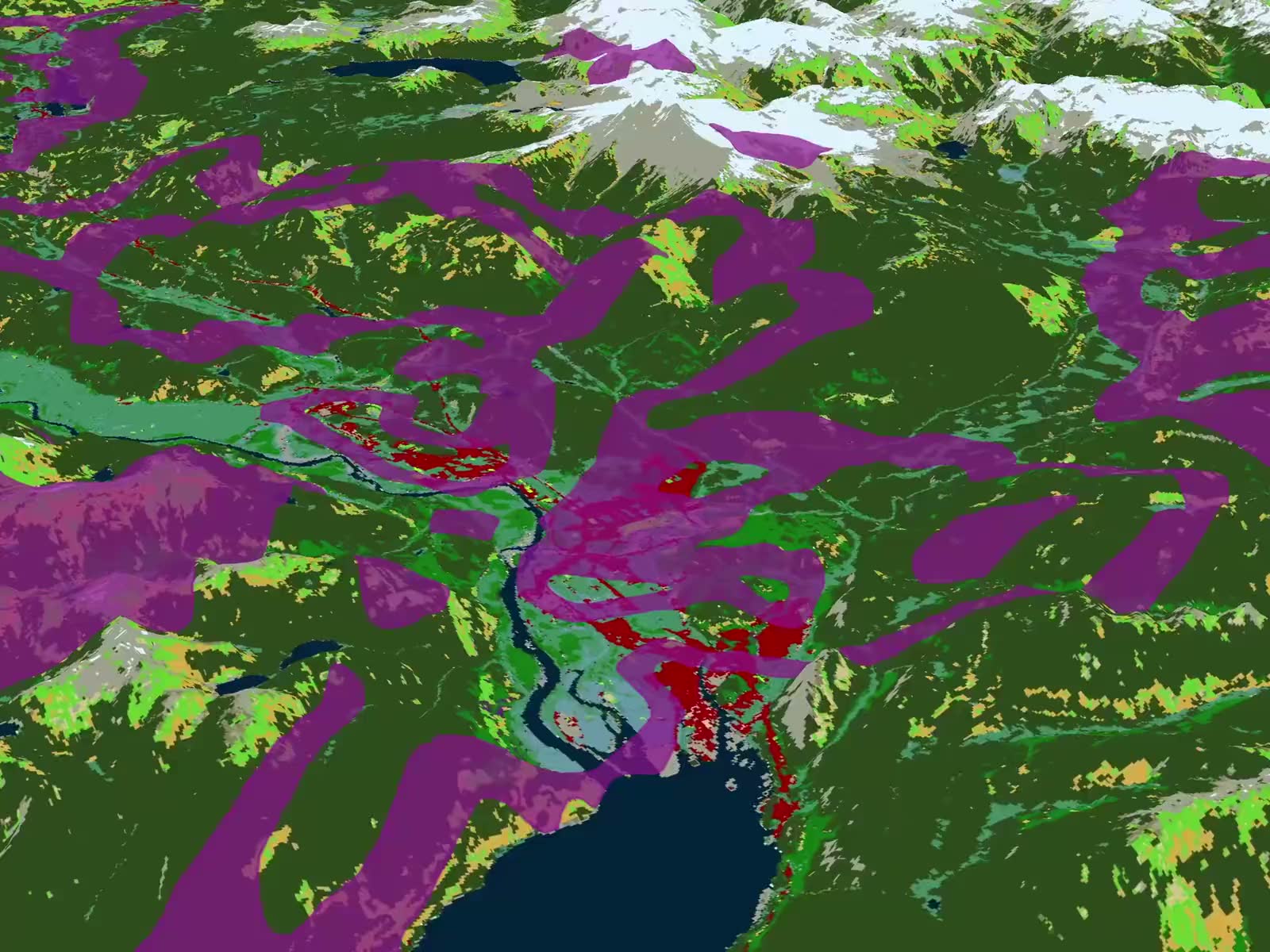
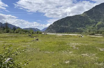
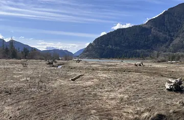
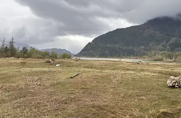
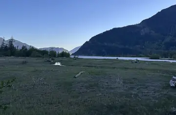
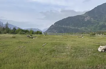
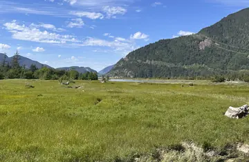
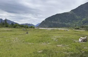
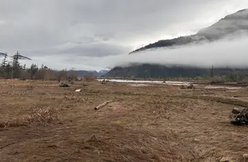
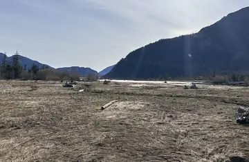
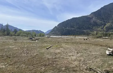
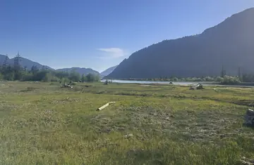
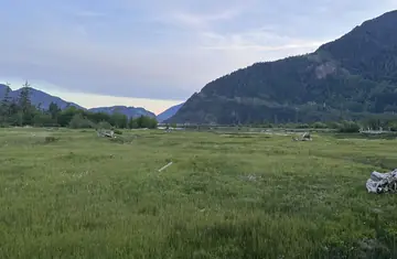
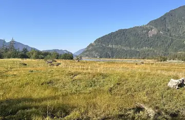
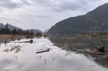
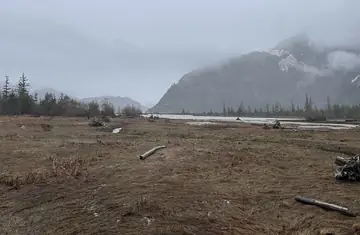
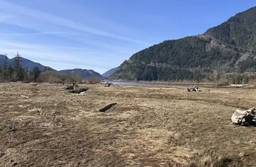
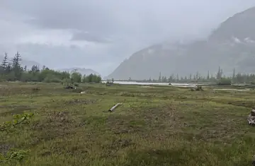
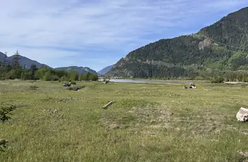
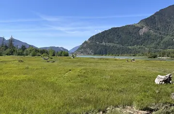
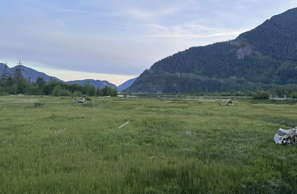
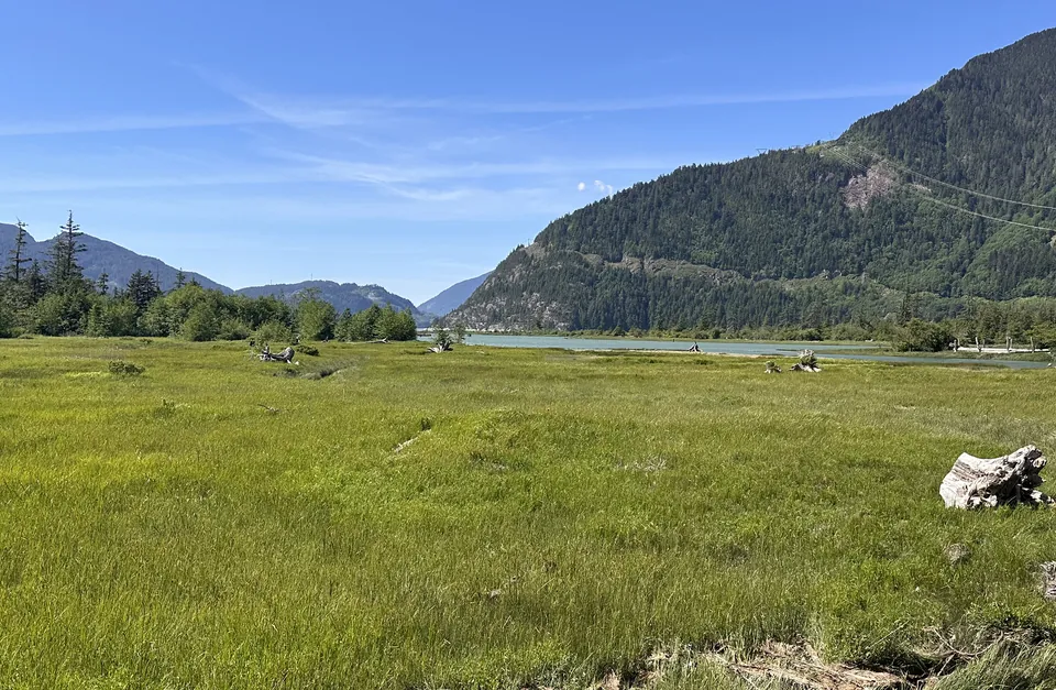
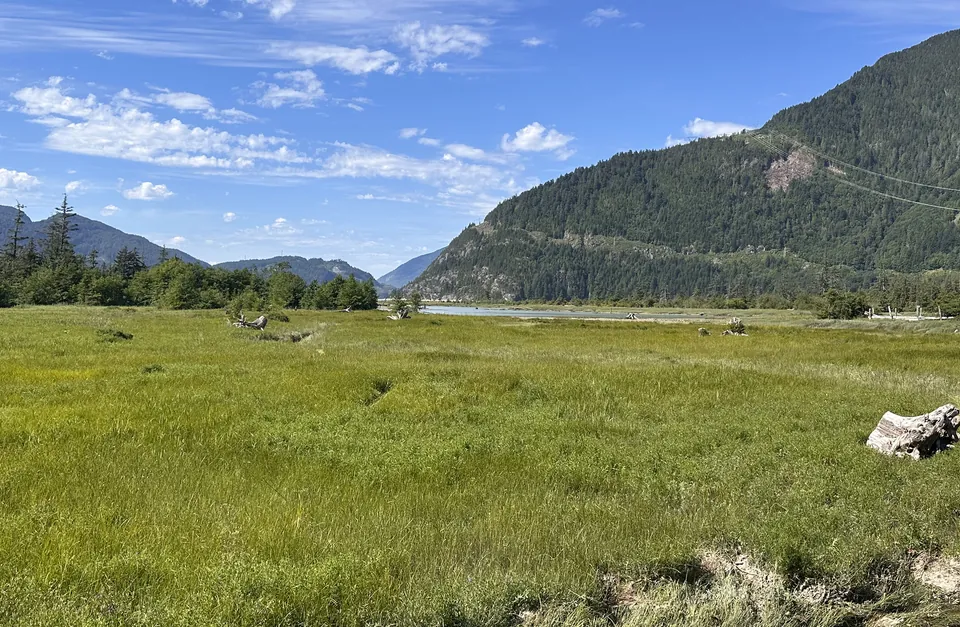
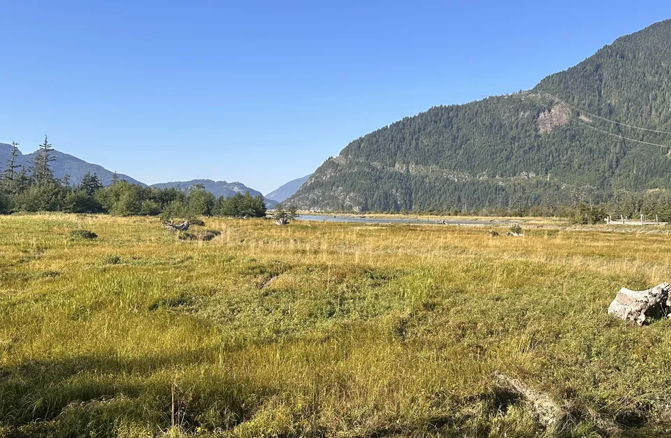
Átl'ḵa7tsem (Howe Sound), pronounced 'AT-KA-tsum', extends to the south, the Squamish River to the west, downtown to the north, and the Britannia Range towers over Siyám Smánit (the Chief) to the east.

Keep going
Take this with you
What you just did here — stand still, look properly, notice what has changed, tell its story — works anywhere in the Sea-to-Sky. Add this website to your home screen, and pick it back up the next time you have a story to share.
Keep an eye out for more posts in the Sea-to-Sky. Each one tells a unique and changing story of this landscape.
Add this to your home screen
Adding to your home screen makes this experience behave like an app.
If you cannot see it, look for Install or Add to Home Screen in your browser's menu.
Gallery · 20
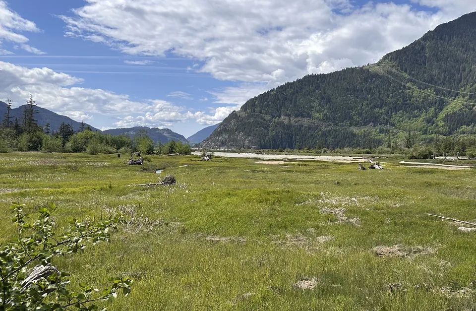
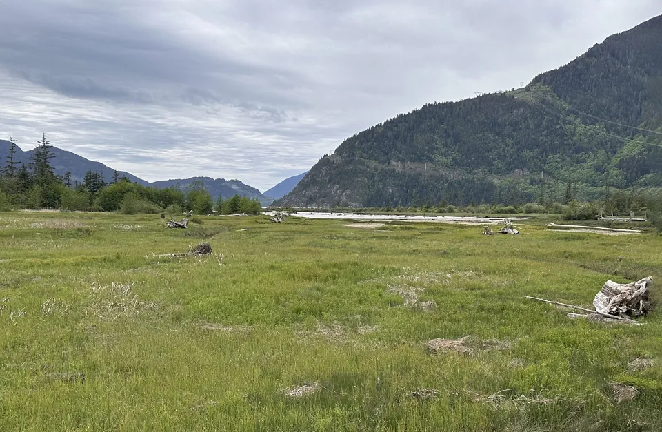
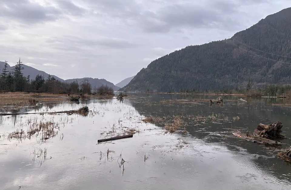
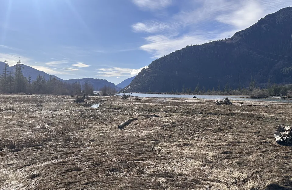
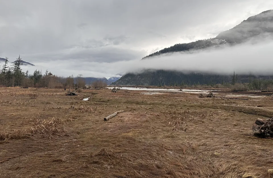
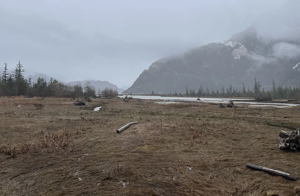
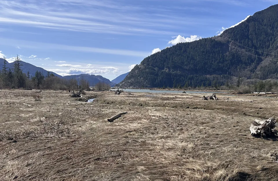
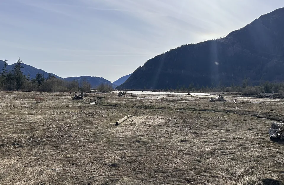
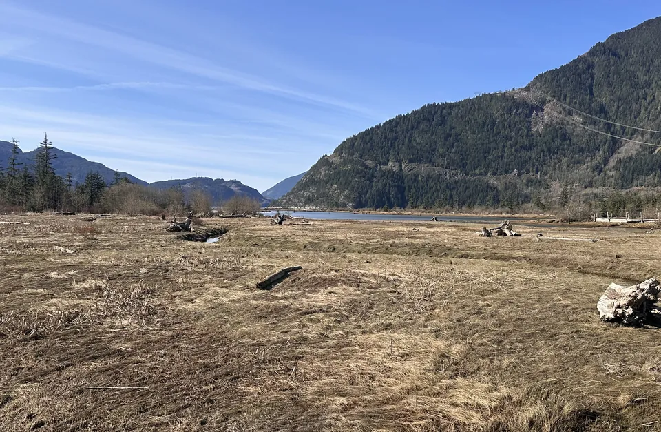
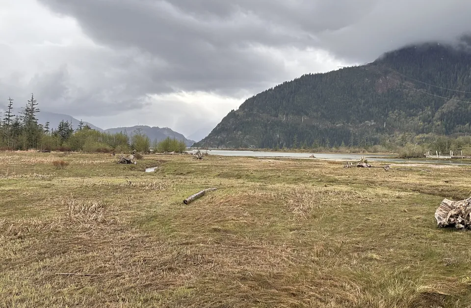
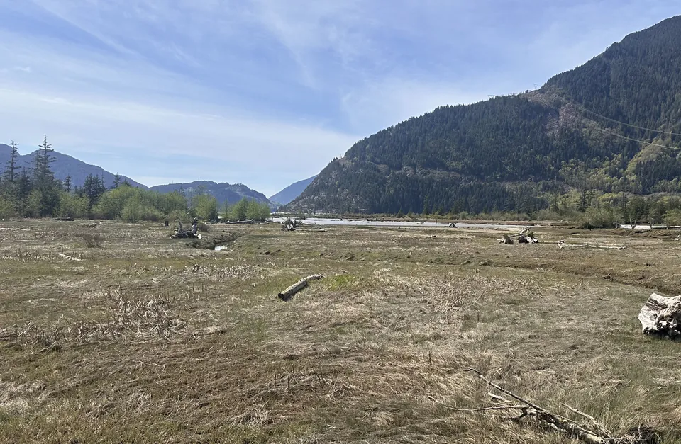
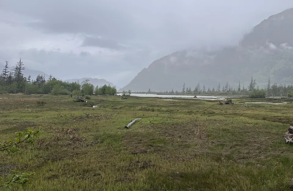
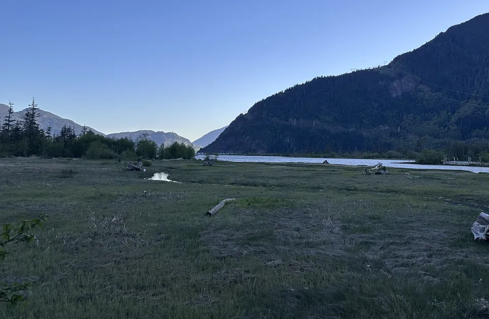
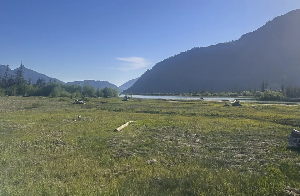
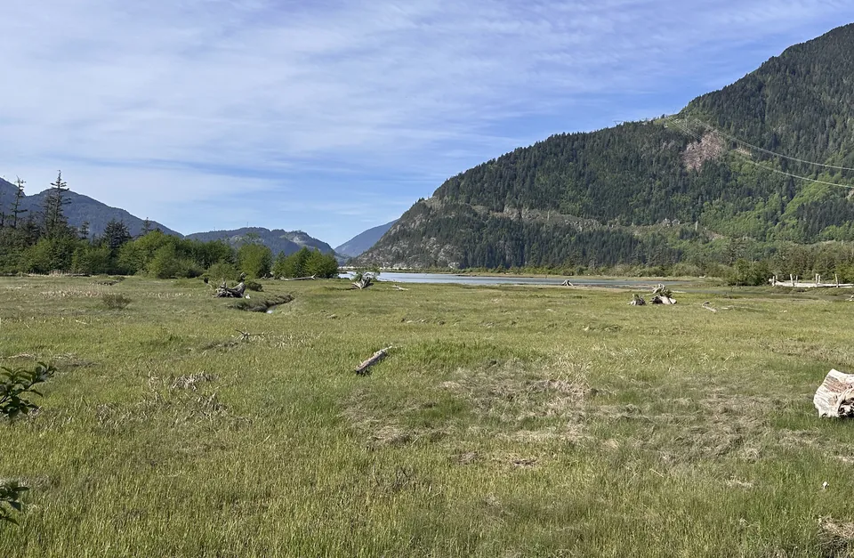
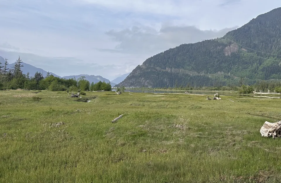
The next one could be yours.